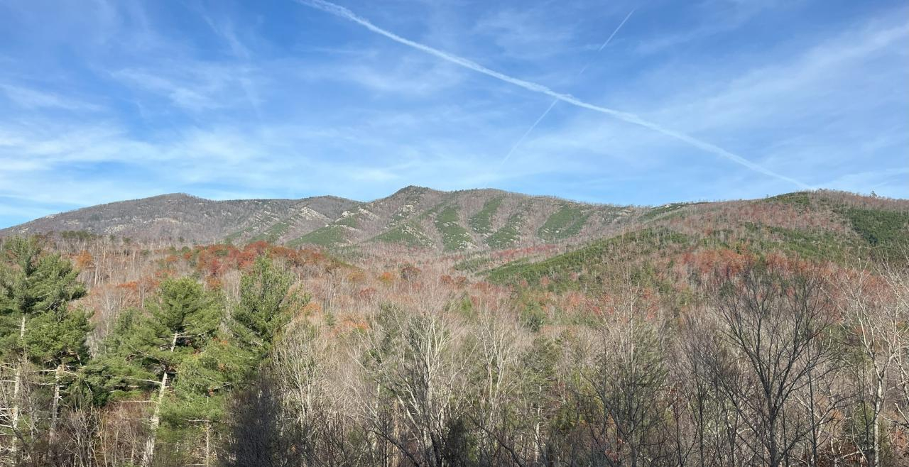
Parts of this hike were actually pretty, though you wouldn't know it from these photos. The damage from Helene was so significant, that’s what caught my attention.
 Water rose an estimated 15-18 feet on this side channel of North Fork of the Catawba River near Marion, N.C. Photos by Mark Barrett
Mark Barrett is an Asheville-based journalist. He reported for the New York Times at the height of Tropical Storm Helene.
MARION — I had a lot of chores to do Saturday but went hiking instead. I had read that the Mountains-to-Sea Trail was open from Woodlawn, N.C., a few miles north of Marion, east to the North Fork of the Catawba River so I decided to see what was left of the pedestrian bridge across the river after Helene.
I took a logging road part of the way there and before I reached the river I managed to make a wrong turn. Once I realized my mistake I decided to go cross country instead of retracing my steps since that would be shorter.
I walked into one of the scenes folks living in Western North Carolina are familiar with: Helene blew down two out of every three trees. Places like this make hiking a contact sport, and a slow and laborious one at that. Still, it was interesting to see.

After maybe half a mile of walking on, under and over downed trees, I made it into open woods and not far after that, to the spot where the bridge once stood. The only things visible were the abutments on either end and the pier, which had washed 50 to 100 yards downstream. Photos of the pier taken before Helene show it sitting on dry ground with an area behind it where it looks like water washed through during a flood. On my way back toward my car, I saw the main part of the bridge on the opposite side of the river a third of a mile or so downstream.
Parts of this hike were actually pretty, though you wouldn't know it from these photos. The damage from Helene was so significant, that’s what caught my attention.